

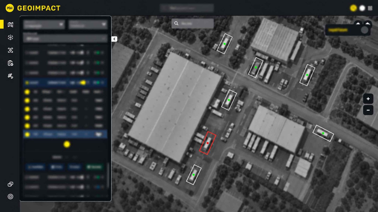
Israeli satellite and intelligence services provider ImageSat International (ISI) has signed a two-year contract with a customer in Latin America. The contract is valued at approximately $3.5 million. ISI will provide satellite imagery and intelligence analysis through its GEOIMPACT platform.
Under the agreement, ISI will provide imagery from its EROS C satellite constellation. The contract also includes Intelligence-as-a-Service offerings delivered through the GEOIMPACT platform. These services are intended to support the customer’s surveillance and reconnaissance activities.
According to the company, GEOIMPACT combines satellite imagery with additional intelligence data sources to create a unified operational picture. AI-powered analytical capabilities are designed to help detect patterns, identify anomalies, and track changes in monitored areas. The resulting intelligence is intended to serve as a basis for operational decision-making.
ISI Expands Its Business in Latin America
According to ISI, the contract gives the company access to another geographic market in Latin America. The agreement is intended to expand its international presence and strengthen its position in the space-based intelligence and reconnaissance market.
“This agreement in a new geographic market demonstrates that we are implementing our strategy to expand our international presence,” said Noam Segal, CEO of ISI. The company’s international network, broad portfolio of solutions, and technological innovations enable it to respond to evolving defense requirements and pursue further growth opportunities.
The identity of the customer and the specific purposes for which the satellite imagery and analytical services will be used have not been disclosed. No details have been provided regarding the monitored area or the specific delivery and service requirements beyond the services mentioned above.
Author: Arie Egozi, Israel Correspondent
Click here to read the latest issue of ESD.
