


Driven by recent geopolitical conflicts, UK company Flare Bright is expanding its advanced software-based positioning, navigation, and timing (PNT) technology from aerospace into the naval domain to secure at-sea operations with its Tactera system.
This low-cost, full-stack, GPS-free navigation solution can add various low-cost sensors, such as lidar and radar altimeters, to a host vessel’s existing navigation stack, which typically includes GPS, a camera, and an inertial navigation system (INS). Using a unique set of algorithms to process data from these sensors, it can deliver navigational accuracy in GPS-denied and radio-frequency-jammed environments that approaches the performance of navigation suites that are orders of magnitude more expensive.
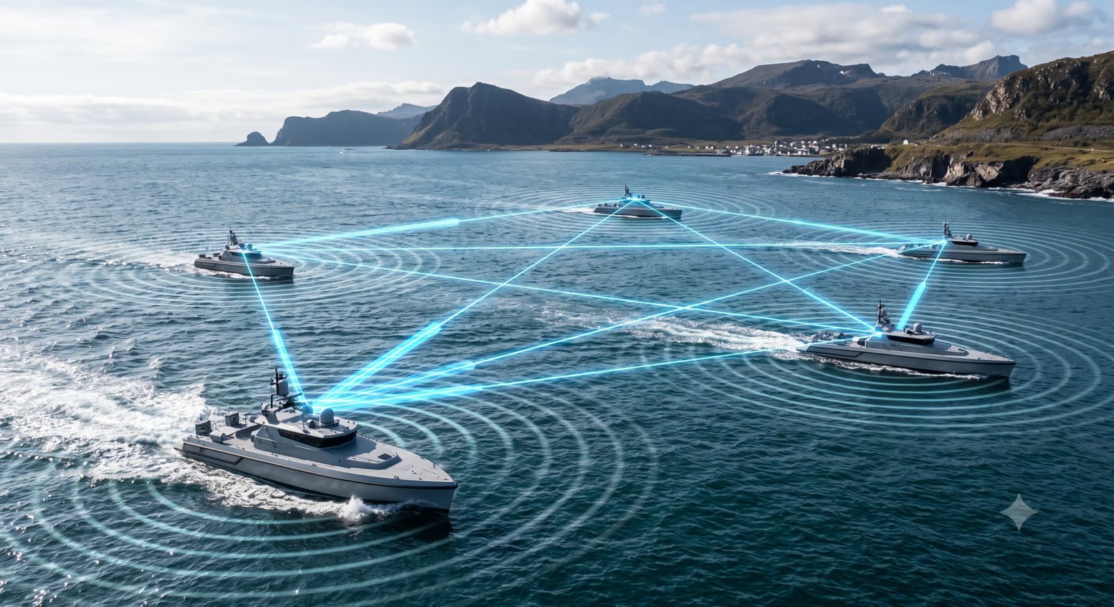
BathyNav is the terrain navigation that works through the sea and reads the seabed. It provides highly accurate, GPS-free sea and subsea navigation for USVs and AUVs It reads the seabed using pre-loaded commercial or military subsea bathymetric maps, which the GEBCO Seabed 2030 initiative survey is improving. It has 100% immunity to GPS jamming, spoofing and RF-based electronic warfare. The faster the vehicle moves within the sensor limits, the better the performance. Based on Flare Bright’s full-stack UAS core technology, MeshNav is the swarm variant of the maritime system, while GhostNav is its enhanced inertial system, which uses a model of the USV, or a ‘ghost’ of it.

Spoofing is an even greater threat than jamming because if a vessel is being jammed, it is obvious that all situational awareness is lost. Spoofing occurs when attackers broadcast counterfeit GPS or AIS signals, causing ships to receive false positional data that can make a vessel appear miles off course. All of Flare Bright’s systems help prevent spoofing by providing an independent navigation fix.
The Bathynav system could be particularly useful for examining and protecting submarine cables and routes, including traditional maritime choke points such as the Malacca Strait and the Strait of Hormuz; several maritime corridors and strategic waterways are also important to bathymetry contour matching of the underwater landscape.
by David Oliver
