

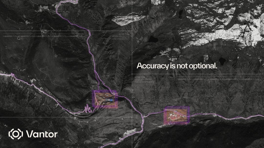
Discover how modern defence forces are transforming GEOINT, multi-sensor fusion and real-time operational awareness with Vantor’s sovereign spatial intelligence architecture.
This new briefing explores how sovereign spatial intelligence systems can:
• Fuse satellite, airborne and ground-based intelligence
• Deliver real-time tasking and collection control
• Support GPS-denied operations
• Enable persistent monitoring and rapid threat detection
• Create a shared operational picture across all domains
The report highlights how nations can leverage Vantor’s imaging satellite constellation and Tensorglobe spatial intelligence platform to build, deploy, and operate secure, mission-ready intelligence systems fully under sovereign control.
Read the full PDF to explore the future of operational GEOINT and defence intelligence integration.
Download here:
Special Report: Sovereign intelligence starts with trusted ground truth
